Advanced Urban Planning Models Dubai

Precision-crafted models for city planning and infrastructure visualization.

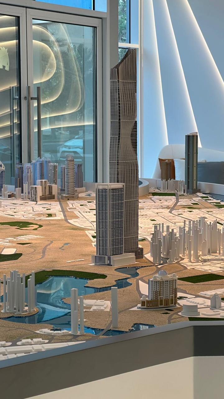
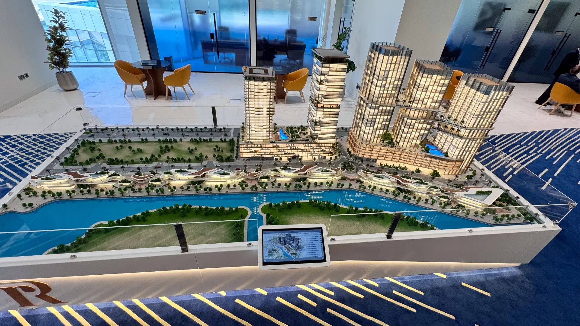
Our urban planning models Dubai services support architects, urban planners, and government authorities in visualizing complex city developments with clarity and precision. These models translate planning data, zoning layouts, and infrastructure designs into detailed physical representations, enabling better understanding of spatial relationships, land use, and development strategies. Whether it is a large-scale city expansion or a municipal project, our models provide a clear view of how urban environments function and evolve.

Trusted City Planning Scale Models UAE

Expert city planning scale models UAE serving authorities and developers for over 60 years.

Smart City Models

Our smart city models integrate technology zone mapping, connectivity infrastructure, and digital district planning into detailed physical displays that communicate future city visions to investors and government bodies.

Transport Planning Displays

We develop transport planning displays that map road hierarchies, transit corridors, interchange nodes, and pedestrian networks across urban and suburban planning zones.

Zoning Layout Models

Our zoning layout models clearly illustrate land allocation, district boundaries, and development density, giving planners and stakeholders a precise spatial understanding of proposed urban frameworks.

Public Space Planning

Our public space planning models showcase parks, pedestrian areas, and open spaces, helping planners design functional and accessible urban environments.

Government Project Models

Through government project models, our urban planning models Dubai services support city authorities in presenting large-scale urban developments, infrastructure upgrades, and redevelopment projects.

Urban Infrastructure Models

We develop urban infrastructure models that accurately represent transportation systems, utilities, and public infrastructure within city environments. These models illustrate road networks, bridges, transit systems, and service layouts, supporting planning and development processes.
Years Experience
0 +
Projects Completed
0 +
Client Satisfaction
0 %
Regional Facilities
0

Check Our Urban Planning Model Work

Explore our portfolio of meticulously developed projects created through our urban planning models Dubai, including city layouts, infrastructure developments, and municipal planning models.

Connect with Infrastructure Planning Models Dubai Experts

Partner with our urban planning models Dubai team to present your city development projects with clarity and impact. Our team of skilled city planning scale models UAE specialists produces highly detailed infrastructure planning models Dubai that showcase zoning, connectivity, and urban layouts. As trusted providers of municipal planning model making UAE, we convert planning data, CAD layouts, and GIS inputs into tangible models that support approvals, stakeholder engagement, and project visualization.

What Are Urban Planning Models?

Urban planning models are physical representations of city layouts, infrastructure systems, and land use strategies used to visualize and analyze urban development. Our urban planning models Dubai services transform planning concepts into accurate models that demonstrate spatial organization, connectivity, and development potential.

These models are widely used for government planning, real estate development, and public presentations. Working with experienced municipal planning model making UAE teams ensures clear communication of urban development strategies.
They serve as powerful tools for:

How to Order Your Urban Planning Model in Dubai or UAE

A structured process ensuring clarity, precision, and timely delivery from expert model makers in Dubai.

01

Initial Consultation

Share your urban development concept, zoning plans, and project goals. Our team defines scale, materials, and detailing requirements.
02

File Submission

Provide CAD files, GIS data, planning layouts, or architectural drawings. We prepare these inputs for accurate model fabrication.
03

Design & Customization

Select scale, finishes, and detailing options. Our infrastructure planning models Dubai specialists ensure every model reflects planning intent accurately.
04

Production & Quality

Our craftsmen fabricate models using CNC machining, laser cutting, and precision assembly, maintaining strict quality control throughout the process.
05

Delivery Across UAE

Completed models are securely packaged and delivered anywhere in Dubai, Abu Dhabi, or across the Emirates for presentations, approvals, or exhibitions.
Ready to Start?
Transform your city planning concepts into precise, tangible urban models.

Why Choose Us for Municipal Planning Model Making UAE

At AH Model Making, our urban planning models Dubai combine technical expertise, advanced fabrication, and urban design knowledge. Each model is developed to communicate city layouts, infrastructure systems, and planning strategies effectively.

Advanced Production Capabilities

We combine modern manufacturing technologies with skilled craftsmanship to produce models that accurately translate complex urban and infrastructure designs into physical form.

Engineering Precision and Material Selection

Every model is developed with controlled scale accuracy, tight tolerances, and carefully selected materials such as acrylics, polymers, and composites to ensure durability and refined detailing.

End-to-End Project Execution

From initial concept to final delivery, we provide complete modeling solutions that support planning approvals, technical presentations, and stakeholder communication with clear and realistic representations.

Urban Planning Model FAQs

Clear answers to common questions from urban planners, architects, developers, and government authorities regarding our urban planning model design, fabrication, and presentation solutions

Get in Touch

Have a question? Send us a message and we'll get back to you shortly.
Contact us
Yes, our team incorporates contoured terrain, waterbodies, green corridors, and landscape elements into urban planning models, giving stakeholders a realistic understanding of the natural and built environment relationship.
Yes, we can incorporate interactive touchscreens, augmented reality overlays, and projection mapping surfaces into physical models, combining traditional craftsmanship with digital technology for advanced presentation experiences.
We use calibrated CNC machining, laser cutting, and precision measurement protocols throughout fabrication, cross-referencing all model elements against submitted GIS data and CAD drawings to maintain consistent scale accuracy.
Yes, we produce models with bilingual or multilingual labeling, incorporating Arabic and English signage, zone identification, and legend panels to support government presentations and public engagement sessions across the UAE.
Yes, we produce models for sustainable masterplans and green city developments, incorporating solar orientation indicators, green building zones, renewable energy infrastructure, and sustainable transport networks to communicate environmental planning strategies clearly.
Yes, we produce models for high-density urban developments, vertical mixed-use towers, and transit-oriented densification schemes, clearly communicating building heights, massing relationships, podium levels, and public realm integration within the surrounding urban fabric.